There is no poo pooing the hike to Poo Poo Point on Tiger Mountain in Issaquah
no matter which direction you hike it. If you are looking for a legit hike close to
Woodinville that the whole family can enjoy, then this hike in the Issaquah Alps is just
the ticket.
There are two main trail heads you can start from, both located just a 30 minute
drive from the Woodinville Park and Ride. To find the lots, get off Exit 17 on I 90 East.
The first trailhead starts at the Issaquah High School. From here it’s a 7.2 mile round
trip to the north landing area of Poo Poo Point. The other trailhead is the Chirico Trail
starts 3 miles past the high school, off Issaquah Hobart road. It is 3.2 miles round trip.
Both are challenging – the High School route is longer but the Chirico Trail is steeper.
My daughter suggested I combine the two hikes. So crazily I decided to give it a
try. It turned out to be a 4 hour, 11 mile tour of Tiger Mountain. Starting at the Issaquah
HS trail head I luckily got one of the 5 parking spaces in front of the trail (overflow is at
the high school parking lot). The trail is well marked with signs to Poo Poo Point. The
only tricky spot on the trail is at the 3 mile mark, at the signs go straight. The trail
descends a little bit fooling you to think you went the wrong way but keep walking
another half mile and you’ll reach a restroom and then you’ll see the North Landing area
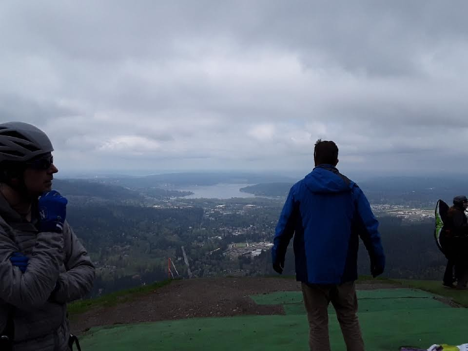
of Poo Poo Point. If you’re lucky the paragliders will be out spreading their chutes like
wings, and soaring like large pteradactyls above Issaquah.
It’s thrilling to watch. I was fortunate to meet Todd, a flight instructor from Air
Squared Paragliding who tried to talk me into “taking the leap”, maybe in the future I’ll
try it.
I continued my hike up and over the point and onto the Chirico trail down (doing
the trail in reverse from the normal direction). I came across another paragliding takeoff
area with amazing views of Mount Rainier. I took in the “breathtaking” view of Rainier,
saving my breath knowing I would soon be coming back up the steep trail. Taking the
Chirico trail down I passed a stream of people in colorful Patagonia clothing. It was
steep but I was using trekking poles which made it easier on my knees. There were
large stone steps build into the hill giving me the feeling I was on the Great Wall of
China.
At the bottom of the trail I took a photo to show that I made it, then turned around
and headed back up the way I came. I retraced my path up and over Poo Poo point again.
